|
| *****SWAAG_ID***** | 899 |
| Date Entered | 20/10/2015 |
| Updated on | 06/06/2017 |
| Recorded by | Tim Laurie |
| Category | Burnt Mound |
| Record Type | Archaeology |
| Site Access | Public Access Land |
| Record Date | 17/10/2015 |
| Location | Carlton Town CP. Spring streamside below Slantgate Well Spring. |
| Civil Parish | Carlton Town |
| Brit. National Grid | SE 04683 85309 |
| Altitude | 431m |
| Geology | Springs rising below Glacial Drift over Namurian Millstone Grit (Colsterdale Marine Band) |
| Record Name | Burnt Mound on SW slopes of Penhill, in pasture below Slantgate Well, revisited |
| Record Description | This isolated burnt mound is one of five burnt mounds recognised to date at springs on the upper south- westerly facing slopes of Penhill. In contrast to the north- westerly facing slopes , which have been settled during prehistory, no settlements have yet been recognised, probably due to the poor pasture arising from acidic soils over sandstone. |
| Dimensions | 8m*6m*1m high approximately |
| Additional Notes | This record will be the first of a series of records arising from fieldwork designed to record burnt mound sites in their present day and contemporary prehistoric landscape contexts and in so doing, to update previous Gazetteers to include a large number of additional sites across the Ure, Swale and Tees/Greta Uplands. |
| Image 1 ID | 6505 Click image to enlarge |
| Image 1 Description | Views of the burnt mound in its landscape setting | 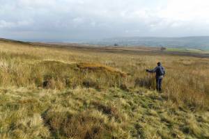 |
| Image 2 ID | 6506 Click image to enlarge |
| Image 2 Description | | 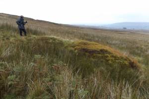 |
| Image 3 ID | 6507 Click image to enlarge |
| Image 3 Description | | 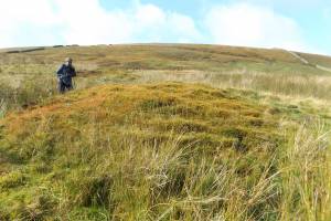 |
| Image 4 ID | 6508 Click image to enlarge |
| Image 4 Description | | 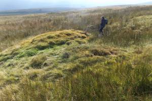 |
| Image 5 ID | 6509 Click image to enlarge |
| Image 5 Description | | 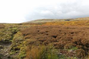 |
| Image 6 ID | 6510 Click image to enlarge |
| Image 6 Description | | 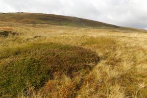 |
| Image 7 ID | 6511 Click image to enlarge |
| Image 7 Description | | 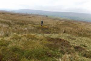 |


